|
Laser 3D scanner for crop using RR
Aman Rana from United States [37 posts] |
10 year
|
Hello there
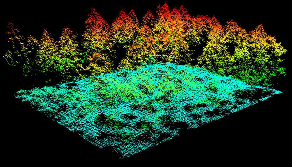
Do we have any module which allow me to to create a map of crop field with XY and Z axis? I want to use red line laser over the top of green crop (90 degree angle). Assume I install camera at 45 degree angle so that change in Y axis of laser line pixels can be captured and module store all values and and stack together in sequence. These Y axis values further create 3D map like second sample image shown. Or we can tweak pixel value with these stored values after scaling then from 0 - 255. Any lead will be appreciated.
 
|
|
|
|
Carl from Your Country [1447 posts] |
10 year
|
Aman,
In theory you are correct. Using a visible line laser and a camera at a different angle than the laser you can recreate a 3D map. In practice, this is much harder than it sounds. The issue is that you will need a VERY bright laser to overcome any sunlight that may interfere with the scanning process ... unless you can scan at night which would produce much better results!
I'd recommend taking a couple test images to see what is possible. Keep in mind to set the camera exposure very short to eliminate 90% of the light in the image since the laser line would be much brighter than most other parts of the image. Also try this in direct sunlight and see what it looks like. You can also try to polarize the light coming to the camera via a polarization lens which may help to eliminate sunlight but still allow the laser light to show through. If you can post those images here too we can recommend further how to proceed.
You can read much more about laser scanning at
http://www.david-3d.com/en/
which is a good resource for scanning in using visible laser light.
STeven.
|
|